
UPDATE
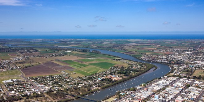
A severe thunderstorm warning for damaging winds and large hailstones is current for people in Central Coast and Whitsundays and parts of Northern Goldfields and Upper Flinders, Herbert and Lower Burdekin, Central Highlands and Coalfields and Capricornia Forecast Districts.Severe thunderstorms occurring over parts of central and east Queensland.An Inland trough is generating thunderstorms this afternoon and evening.Severe thunderstorms are likely to produce damaging winds and large hailstones in the warning area over the next several hours. Locations which may be affected include Mackay, Charters Towers, Yeppoon, Moranbah, Collinsville, Marlborough, St Lawrence, Sarina and Pentland.Severe thunderstorms are no longer occurring in the Central West district and the warning for this district is CANCELLED.
EARLIER
Severe thunderstorms are likely to produce damaging winds and large hailstones over the next several hours across parts of Northern Goldfields and Upper Flinders, Central Coast and Whitsundays, Central Highlands and Coalfields, Capricornia, Herbert and Lower Burdekin and Central West Forecast Districts.
The Bureau of Meteorology says an inland trough is generating the thunderstorms.
Locations which may be affected include Mackay, Charters Towers, Yeppoon, Moranbah, Sarina and Pentland.
Queensland Fire and Emergency Services advises that people should:
* Move your car under cover or away from trees.
* Secure loose outdoor items.
* Seek shelter, preferably indoors and never under trees.
* Avoid using the telephone during a thunderstorm.
* Beware of fallen trees and powerlines.
* For emergency assistance contact the SES on 132 500